


39.80917, -75.67972
39°48'33"N, 75°40'47"W
For Tours & Programs:
Locations vary. Please refer to the Tour Notes section below for the meeting location.
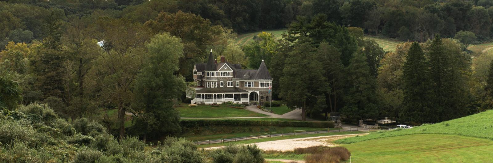
GPS Address: 3000 Creek Road, Hockessin DE.
From Wilmington: Take Rte. 48 (Lancaster Pike) or Rte. 41 (Newport Gap Pike) to Hockessin. At the main traffic light in Hockessin, turn right on Yorklyn Rd. and go about 2 miles until you reach the bridge across Red Clay Creek. Follow the brown "Auburn Heights Preserve" sign to make a sharp left onto Creek Road as soon as you cross the bridge. Auburn Heights is 1/4 mile ahead. Parking for events is in the field on the right.
From Pennsylvania: Take Rte. 41 south to the second traffic light in Hockessin, Delaware. Turn left onto Yorklyn Rd. and go about 2 miles until you reach the bridge across Red Clay Creek. Follow the brown "Auburn Heights Preserve" sign to make a sharp left onto Creek Road as soon as you cross the bridge. Auburn Heights is 1/4 mile ahead. Parking for events is in the field on the right.


